The urban area of Via della Lungara in Rome: features, transformations and vulnerabilities through the use of digital systems
DOI:
https://doi.org/10.14633/AHR441Keywords:
Historical Centre, Risk Map, Rome, transformation, vulnerabilityAbstract
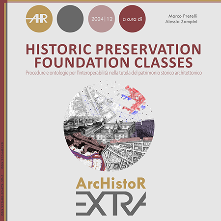
The application of the Risk Map platform focused on a sector of the historic centre of Rome distinguished by its specific geomorphological, historical, and settlement characteristics. The area is located beyond the Tiber, along its right bank, on a flat stretch between the river to the east and the Janiculum Hill to the west. It is further delimited to the south and north by the Aurelian Walls, which enclose Trastevere, and the Leonine Walls, which surround the Vatican citadel. Due to the extensive presence of gardens and parks, the built-up area accounts for only about one third of the total surface. The heterogeneous nature of the urban fabric characterising the Lungara area complicated the identification and classification of the Urban Units (UU-A and UEPRS), leading to a partial reconsideration of the initial methodological approach. The vulnerability assessment of the historic building stock is based on the final compilation of 36 survey forms corresponding to the Urban Units and is expressed through two composite indices, Itm and Iv, calculated by the CdR system using dedicated algorithms. With reference to selected significant cases, preliminarily analysed in terms of their constructional genesis and subsequent transformations, the conservation condition of the buildings is examined in relation to alterations of building elements, replacement of finishes, structural vulnerabilities, and material decay affecting façades and roofing systems.
Downloads
Additional Files
- Figura 1a (Italiano)
- Figura 1b alternativa (Italiano)
- Figura 1b (Italiano)
- Figura 2 (Italiano)
- Figura 3 (Italiano)
- Figura 4 (Italiano)
- Figura 5 (Italiano)
- Figura 6 (Italiano)
- Figura 7 (Italiano)
- Figura 8 (Italiano)
- Figura 9 (Italiano)
- Figura 10 (Italiano)
- Figura 11 (Italiano)
- Figura 12 (Italiano)
- Figura 13 (Italiano)
- Figura 14 (Italiano)
- Figura 15 (Italiano)
- Didascalie immagini (Italiano)
- TESTO ANONIMO (Italiano)
- Didascalie immagini ANONIME (Italiano)
Published
How to Cite
Issue
Section
License
This journal provides immediate open access to its content on the principle that making research freely available to the public supports a greater global exchange of knowledge.
ArchIstoR is published on the web in open access.
Authors who publish with this journal agree to the following terms:
- authors retain copyright and grant the journal right of first publication with the work simultaneously licensed under a Creative Commons Attribution-NonCommercial 2.0 Generic License that allows others to share the work with an acknowledgement of the work's authorship and initial publication in this journal.
- Authors are able to enter into separate, additional contractual arrangements for the non-exclusive distribution of the journal's published version of the work (e.g., post it to an institutional repository or publish it in a book), with an acknowledgement of its initial publication in this journal.
- Authors are permitted and encouraged to post their work online (e.g., in institutional repositories or on their website) prior to and during the submission process, as it can lead to productive exchanges, as well as earlier and greater citation of published work (See The Effect of Open Access).













 Comitato scientifico internazionale