A History-based Description of the Territories of Abandonment between Grecanico and Locride in Calabria
DOI:
https://doi.org/10.14633/AHR402Keywords:
Cartography, Abandonment, Grecanico, Locride, Territory,Abstract
La cartografia storica è uno strumento utile per comprendere l’immagine che geografi, topografi e viaggiatori hanno tramandato di un territorio. L’uso della cartografia applicata allo studio del territorio non può prescindere dai metodi scientifici e dell’esogenesi di ciascun documento. La complessità dei paesaggi contemporanei necessita la ricerca di nuove pratiche cartografiche, capaci di realizzare letture e rappresentazioni basate sulla interdisciplinarità e sulla transcalarità sia spaziale sia temporale. In questo scritto l’utilizzo dei Geographic Information System (GIS) ha permesso di mettere in relazione la cartografia storica, ma anche fonti testuali e iconografiche, con le cartografie recenti, le foto aeree e satellitari, oltre ai dati vettoriali provenienti da banche dati implementabili e disponibili anche online. Attraverso l’uso di queste strumentazioni è possibile una lettura geo-storica dei fenomeni di abbandono, mettendo in evidenza come geomorfologia, idrografia e accessibilità abbiano inciso sull’ abbandono/ricollocazione degli abitati.
Historical cartography is a useful tool for understanding the image that geographers, topographers, and travelers have passed down about a territory. The application of cartography to the study of the territory cannot disregard scientific methods and the exogenesis of each document. The complexity of contemporary landscapes necessitates the search for new cartographic practices capable of creating readings and representations based on interdisciplinarity and on both spatial and temporal transcalarities. In this writing, the use of Geographic Information Systems (GIS) has allowed for the correlation of historical cartography, as well as textual and iconographic sources, with recent maps, aerial and satellite photos, in addition to vector data from implementable databases that are also available online. Through the use of these tools, a geo-historical reading of abandonment phenomena is possible, highlighting how geomorphology, hydrography, and accessibility have influenced the abandonment/reallocation of settlements.
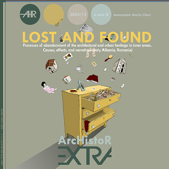
Downloads
Additional Files
Published
How to Cite
Issue
Section
License
This journal provides immediate open access to its content on the principle that making research freely available to the public supports a greater global exchange of knowledge.
ArchIstoR is published on the web in open access.
Authors who publish with this journal agree to the following terms:
- authors retain copyright and grant the journal right of first publication with the work simultaneously licensed under a Creative Commons Attribution-NonCommercial 2.0 Generic License that allows others to share the work with an acknowledgement of the work's authorship and initial publication in this journal.
- Authors are able to enter into separate, additional contractual arrangements for the non-exclusive distribution of the journal's published version of the work (e.g., post it to an institutional repository or publish it in a book), with an acknowledgement of its initial publication in this journal.
- Authors are permitted and encouraged to post their work online (e.g., in institutional repositories or on their website) prior to and during the submission process, as it can lead to productive exchanges, as well as earlier and greater citation of published work (See The Effect of Open Access).











 Comitato scientifico internazionale