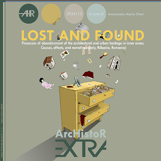
Documentary Appendix and Digital Data Inventory Methodologies: the GIS as Supporting Tool for Knowledge Processes of Historical Settlements
DOI:
https://doi.org/10.14633/AHR408Keywords:
Appendix, Digital Data, Inventory, GIS, Historical SettlementsAbstract
Il contributo presenta la modalità con cui sono stati raccolti, inventariati e messi in relazione i dati raccolti nel corso della ricerca. Uno degli obiettivi, infatti, è stato di raccogliere e far dialogare la quantità di dati di natura molto diversa collezionati durante le diverse fasi della ricerca. Il sistema Gis qui utilizzato ha incluso la raccolta di dati a diverse scale (architettonica, territoriale, sovralocale) e provenienti da diverse fonti (archivistiche, cartografiche, documentarie, demografiche), che sono stati interconnessi e georeferenziati con l'obiettivo di organizzare e presentare le informazioni riguardanti ogni comune o sito. In particolare, la piattaforma GIS sviluppata nel contesto della ricerca Lost and Found (RIBA 2021) mette in relazione la dimensione territoriale, con approfondimenti su scala comunale di alcuni casi studio identificati e li combina con una scala architettonica che si focalizza sul caso di Ferruzzano (Reggio Calabria), con approfondimenti sullo stato di conservazione del patrimonio edilizio. Questa piattaforma consente da un lato di elaborare dati georeferenziati a supporto delle riflessioni proposte e dall'altro di costruire uno strumento accessibile e fruibile, rivolto non solo ad altri ricercatori ma anche ad attori locali.
The contribution presents the methods used to collect, inventory, and relate the data gathered during the research. One of the goals was to collect and facilitate dialogue among the diverse data types collected throughout the various phases of the study. The GIS system used here included data collection at different scales (architectural, territorial, sub-local) and from various sources (archival, cartographic, documentary, demographic), which were interconnected and georeferenced to organize and present information regarding each municipality or site. In particular, the GIS platform developed in the context of the Lost and Found research (RIBA 2021) relates the territorial dimension to detailed analyses at the municipal scale of some identified case studies and combines this with an architectural scale focused on the case of Ferruzzano (Reggio Calabria), with insights into the conservation status of the building heritage. This platform allows for the processing of georeferenced data to support the proposed reflections and, on the other hand, to create an accessible and usable tool aimed not only at other researchers but also at local stakeholders.
Downloads
Published
How to Cite
License
This journal provides immediate open access to its content on the principle that making research freely available to the public supports a greater global exchange of knowledge.
ArchIstoR is published on the web in open access.
Authors who publish with this journal agree to the following terms:
- authors retain copyright and grant the journal right of first publication with the work simultaneously licensed under a Creative Commons Attribution-NonCommercial 2.0 Generic License that allows others to share the work with an acknowledgement of the work's authorship and initial publication in this journal.
- Authors are able to enter into separate, additional contractual arrangements for the non-exclusive distribution of the journal's published version of the work (e.g., post it to an institutional repository or publish it in a book), with an acknowledgement of its initial publication in this journal.
- Authors are permitted and encouraged to post their work online (e.g., in institutional repositories or on their website) prior to and during the submission process, as it can lead to productive exchanges, as well as earlier and greater citation of published work (See The Effect of Open Access).













 Comitato scientifico internazionale